ERT measurement maps soil composition
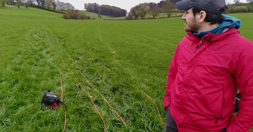
A stable ground is one of the most important prerequisites for building the Einstein Telescope. The soft cushioning upper layer and a hard lower layer are excellent starting points for this. That is not enough for the geologists at the Einstein Telescope project office. They want to know more about the soil to ultimately come up with good proposals for the vertices of the final triangle of the underground observatory.
A Electrical Resistivity Tomography measurement (ERT) is one of the tools for this purpose. That is a geo-electric measurement to get an impression of the soil structure down to a depth of about 100 metres. This provides a more accurate picture of the rock layers and any fractures in them.
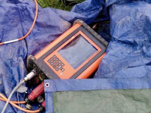
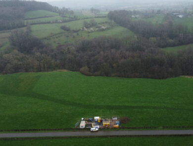
In Sint Pieters Voeren (municipality of Voeren, Belgian Limburg), scientists from the universities of Liège and Leuven carried out such an ERT measurement for several days in April. This is done by rolling out a 5-millimetre-thick cable over several hundred metres across a field. Electrodes, similar to tent pegs, are attached to the cable every five metres. These electrodes are then connected to a battery and a field computer. With this cable, a very weak electric field is generated in the soil for an hour during the measurement.
The results of this ERT measurement will be analysed in the near future.
